AVATARUsed Models
WaterSed - Water and Sediment
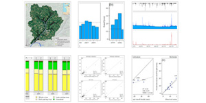
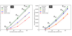
WaterSed is a raster-based, event-scale runoff and erosion model designed to model runoff, erosion and mudflows at the catchment scale, from the rainfall event to the annual scale. One of the model’s novelty is it can be used to simultaneously model infiltrationexcess and saturation-excess runoff, associated erosion and sediment transfers. The model also includes so-called “expert rules”, taking into account the progressive soil surface degradation under the effect of rainfall , depending on land use, land cover and soil texture. WaterSed can be used to model current or future changes in land use/land cover or changes in rainfall regimes. Latest developments include the possibility to model nature-based solutions for runoff and erosion mitigation (e.g., edges, ponds, grass strips).
more information
MODERN - Modelling Deposition and Erosion rates with RadioNuclides
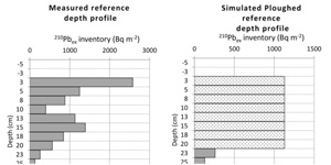
MODERN is a transparent and easily adaptable model developed by the Environmental Geosciences research group at the University of Basel to convert fallout radionuclides (FRN) inventories into quantitative estimates of both erosion and deposition processes. One key advantagee of MODERN is its ability to describe accurately specific depth distribution of any FRN in the soil, independent of its depth function’s shape. Moreover, MODERN allows multi-radionuclide approaches to validate different fallout radionuclides (210Pb, 137Cs, 239+240Pu) against each other and can be applied under various land use conditions (i.e., ploughed and unploughed soils). Compared to other models, the application of MODERN does not require a transect approach, where sampling points need to be located along a transect, but performs efficiently also when the sampling points are spatially scattered.
more information
Quick Links
Social Media


